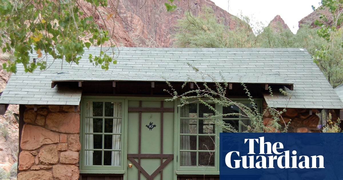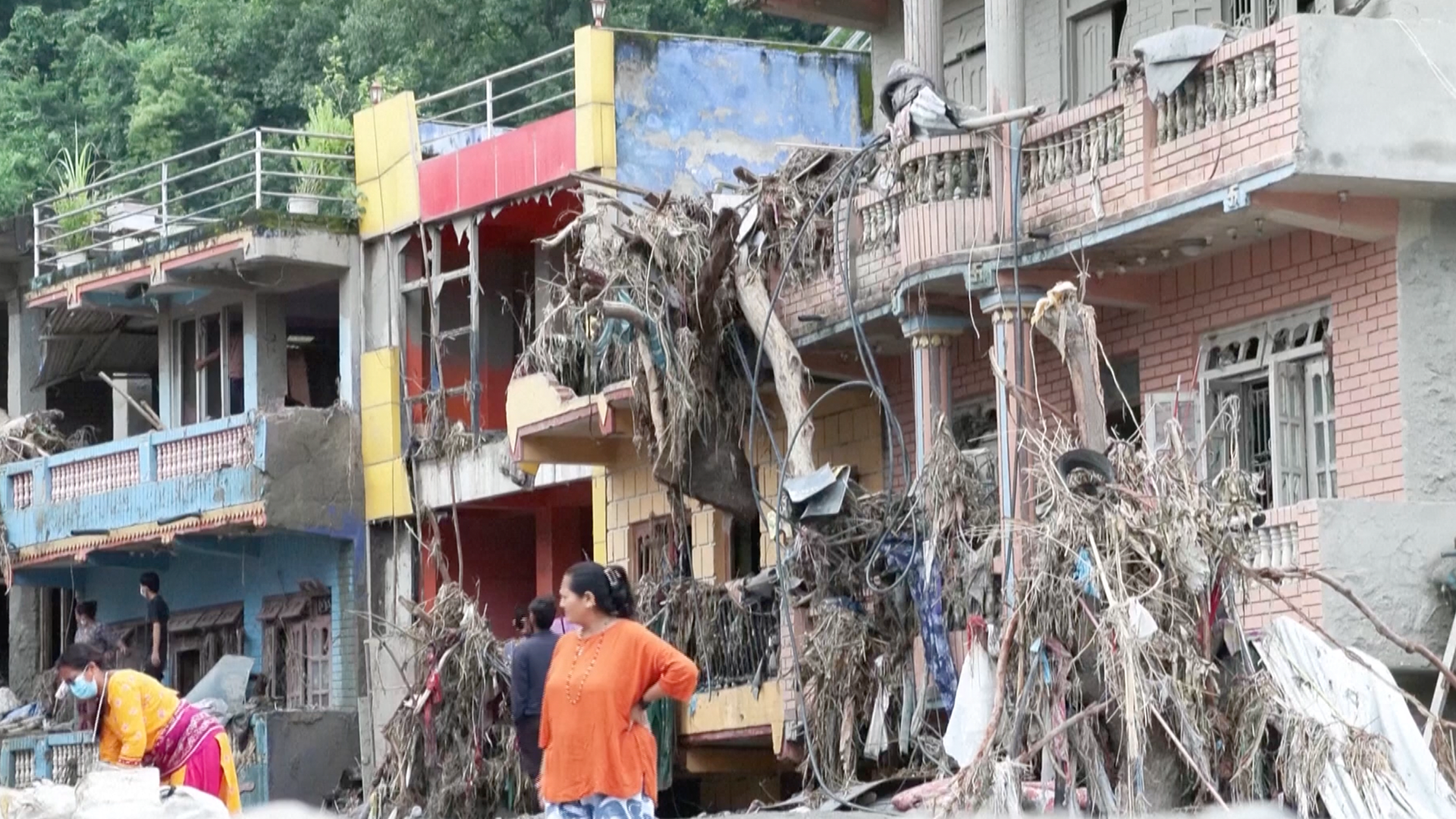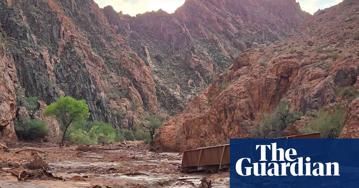
Flooding in Phantom Ranch in the Grand Canyon in Arizona. Photograph: Jonathan Bailey via NPSView image in fullscreenFlooding in Phantom Ranch in the Grand Canyon in Arizona. Photograph: Jonathan Bailey via NPSHow intense rains in the Grand Canyon turned into a deadly disasterFlash flooding in Arizona tourist destination was likely triggered by compounding climate factors, such as drought and warming in Pacific Ocean
Remote Grand Canyon lodge hit by deadly flash flood boasts fabled history
A deadly flash flood in the Grand Canyon over the weekend was likely driven by a confluence of climate factors, including drought, wildfire scarring and warming temperatures in the Pacific Ocean that can supercharge storms.
At least two people have died and 15 remain missing or unaccounted for after a surge of water and debris swept through the immensely popular tourist destination on Saturday, fueled by torrents of rain that hit the national park’s Bright Angel Creek area.
Flash floods are not uncommon in the region, especially during the monsoon season from June to September, when strong rains pummel the arid landscapes and can quickly fill narrow rock formations. Visiting the Grand Canyon – a crown jewel of the US national park system – can be particularly dangerous in the summer because of the risk of flash flooding, when clear days can give way quickly to thunderstorms and downpours.
The steep, rocky nature of the canyon itself funnels water rapidly, transforming downpours into a charging wall of water.
View image in fullscreenThis handout image released by the National Park Service shows a storm system moving across the North Rim of Grand Canyon national park on 29 August. Photograph: J Baird/National Park Service/AFP/Getty ImagesBut Saturday’s strong storm also hit part of the burn scar of the Dragon Bravo wildfire, a destructive and fast-moving blaze that swept across nearly 150,000 acres (60,700 hectares) and consumed the historic Grand Canyon Lodge in July 2025.
Runoff tends to flow more quickly in the aftermath of a fire, especially in hotter burns where slopes are left barren of vegetation.
While it’s still unclear how directly long-term damage to the landscape from that fire played a role in last weekend’s disaster, federal models indicated a rise in the risks of debris flows in Bright Angel Creek.
Floods sweeping through Grand Canyon national parkTeams with the Department of Interior charged to assess post-fire threats to “life, property, and critical natural and cultural resources”, found runoff risks would be between two and eight times greater upstream of Phantom Creek. “Hikers on the trails within or downslope from the burned area will experience frequent stabilization issues, especially hazardous rockfall for at least the first year,” the team wrote in a report on conditions.
Park officials were reportedly concerned at the start of this summer that stronger storms could create dangerous conditions near the burned areas. Hikers that had to be evacuated by helicopter after the rushing waters swallowed bridges and other infrastructure told the Arizona Republic that the creek turned black as it filled with runoff.
View image in fullscreenThis handout image released by the Grand Canyon National Park Service shows remnants of stone bridge pylons along Bright Angel Creek following a flash flood. Photograph: J Thompson, handout/National Park Service/AFP/Getty ImagesScientists have long warned that the climate crisis will create stronger extremes and destructive shifts between wet and dry conditions. As temperatures continue to climb, extreme events will not just increase – they are more likely to overlap, causing more calamity and testing the limits of the nation’s resilience and recovery.
So-called “compound extremes”, where a combination of contributing factors come together, are on the rise, according to researchers.
View image in fullscreenThe sudden, heavy rainstorm that fueled this catastrophic flood may have been been supercharged by the historic El Niño. Photograph: J Thompson, handout/National Park Service/AFP/Getty ImagesAlong with the potential impact from a previous fire, a severe drought that continues to affect the Grand Canyon region – and the Colorado River basin that runs through it – could have contributed to the disaster. The deluge unleashed torrents of rain on hardened and sparsely vegetated steep terrain that is less able to absorb and contain abrupt increases in moisture.
The sudden and strong rainstorm that fueled this catastrophic flood may have been been supercharged by the historic El Niño that has sharply increased sea surface temperatures in the Pacific Ocean.
View image in fullscreenThe Grand Canyon national park in northern Arizona on Sunday, a day after it was hit by heavy flooding. Photograph: Craig Sanderson via APThe climate phenomenon has the ability to affect weather systems around the world. But in the south-west, the higher amount of water vapor in the atmosphere due to El Niño is wrung out in the form of rainfall, Park Williams, a hydroclimatologist at the University of California, Los Angeles, told the Associated Press.
El Niño is part of a natural cycle, but models show there is a strong likelihood this will become one of the strongest on record. It layers on top of spikes in temperature fueled by the climate crisis. Together, the possibility of severe and extreme weather is expected to dramatically increase.
View image in fullscreenBright Angel Canyon, the scene of flash floods, runs into the Colorado River in the Grand Canyon on Monday. Photograph: John Locher/APThe link to human-caused climate change and the heavy Arizona rain is moderately strong, said Daniel Swain, a climate scientist at the California Institute for Water Resources.
Swain and colleagues recently published a study in the journal Weather and Climate Extremes finding that during the summer, short-term intense downpours in the US west – akin to the one that hit the Grand Canyon – have become 10% stronger since 2000.
The Associated Press contributed reporting