play Live Sign upShow navigation menuplay Live Click here to searchsearchSign upNews|Benjamin NetanyahuIsrael expands military control in Gaza, Lebanon and Syria by 1,000sq kmAn Al Jazeera investigation and expert analysis reveal how Israel is redrawing borders in Gaza, Lebanon, and Syria to enforce unannounced buffer zones.
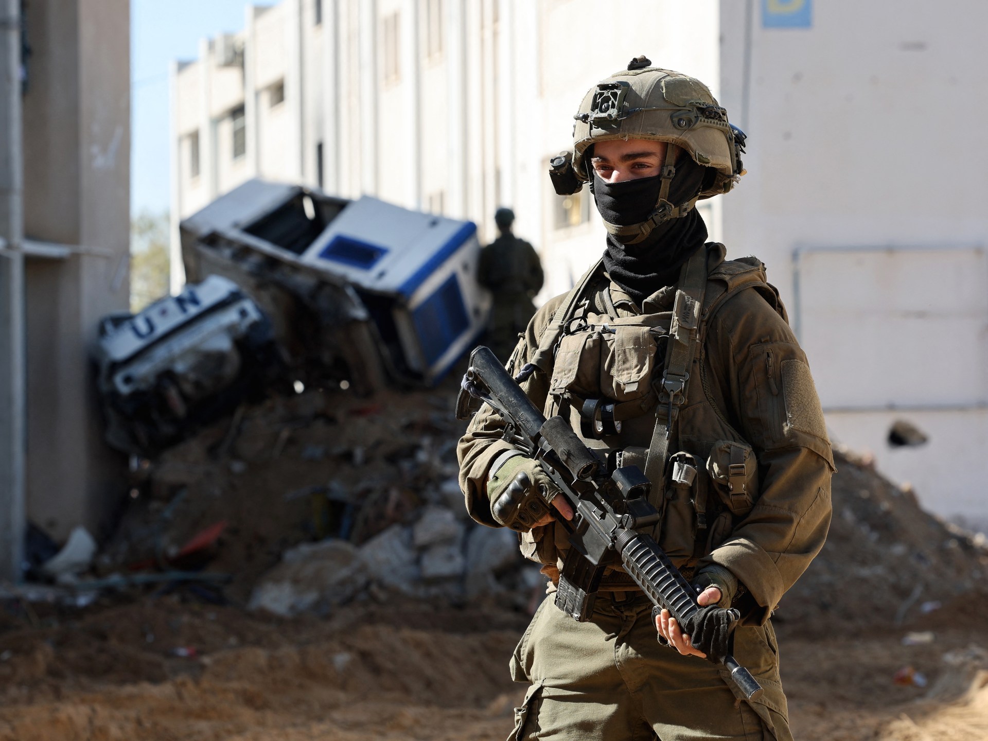
xwhatsapp-strokecopylinkgoogleAdd Al Jazeera on GoogleinfoIsraeli soldiers inside a compound of the United Nations Relief and Works Agency for Palestine Refugees (UNRWA) in Gaza City [Jack Guez/ AFP]By Al Jazeera Staff and Mohammad MansourPublished On 14 Jun 202614 Jun 2026Israeli military maps have failed to reflect the true extent of the country’s territorial control since the war on Gaza began on October 7, 2023. A new probe by Al Jazeera’s open-source investigation unit reveals that Israeli forces have established a de facto military footprint across the Gaza Strip, southern Lebanon, and southern Syria covering approximately 1,000sq km (386 sq miles), a size larger than the whole of New York City.
This newly controlled territory amounts to roughly five percent of Israel’s total landmass prior to October 2023, which includes the occupied Palestinian territories and the occupied Syrian Golan Heights.
Political and military analysts have told Al Jazeera that Israel’s vast territorial expansion is part of a policy of “strategic deception” and “geographic engineering”. Ultimately, it is designed to mask Israel’s inability to achieve its stated war objectives, appease right-wing ideological demands, and impose new realities on the ground while avoiding international accountability.
The Al Jazeera investigation compared official Israeli maps published following various ceasefire agreements with satellite imagery, geographic information systems (GIS), and Armed Conflict Location and Event Data Project (ACLED) statistics. In both Gaza and Lebanon, the findings highlight a persistent gap between declared boundaries and actual ground operations.
In Gaza, the Israeli military introduced a “Yellow Line” following an October 2025 ceasefire agreement to delineate its control over roughly 200sq km (77sq miles). Yet physical markers were routinely pushed beyond these limits. For example, in northern Gaza, Israel expanded its control from 67.3sq km (26sq miles) to 73.9sq km (28.5sq miles), ultimately swallowing 54.7 percent of the north. Satellite imagery also confirmed extensive, unannounced demolitions outside the declared military zones, such as in the Shujayea neighbourhood.
A similar pattern emerged in southern Lebanon following the April 2026 ceasefire. While official maps claimed a buffer zone of 570sq km (220sq miles), satellite images captured soon afterwards showed building demolitions in towns located explicitly outside the declared lines, such as Zawtar al-Sharqiya.
Ehab Jabareen, an expert in Israeli affairs, described this as a policy of “calculated chaos” and “strategic deception”.
“The political establishment announces the Yellow Line to Washington and mediators… but the military shifts it on the ground under the pretext of operational needs,” Jabareen said. He added that Israel seeks the results of an occupation without officially declaring one, employing a “distribution of roles” where diplomats claim compliance while the military devours geography.
Analysts argue that the rapid territorial expansion serves as a cover for military shortcomings. Mohannad Mustafa, an expert on Israeli politics, noted that Israel’s enlargement of control is a direct alternative to achieving decisive military victories against its perceived enemies.
“In the absence of military resolution and the achievement of war goals, the alternative becomes geographic expansion and widening buffer zones,” Mustafa said. He added that the political echelon in Israel ultimately aims at occupying up to 70 percent of the Gaza Strip, systematically converting inhabited areas into depopulated security zones.
Mamoun Abu Amer, a political researcher, explained that this strategy operates on four interconnected levels: security-related, political, ideological, and psychological.
Abu Amer noted that holding this territory from Arab countries provides Israel with leverage to extort political concessions, while also feeding a psychological need within the Israeli public to project strength after the shock of the Hamas-led attacks of October 7, 2023. “It provides psychological reassurance to society… demonstrating that Israel is powerful and capable of imposing its hegemony,” he said.
Furthermore, say analysts, Prime Minister Benjamin Netanyahu appears to be using these land grabs to sell a “picture of victory” to his domestic base. “Because he cannot say that Hamas is finished, nor that Hezbollah has been disarmed, nor that Iran is permanently deterred… control over the land becomes the ‘language of victory’ when the language of decisive military success fails,” Jabareen explained.
In southern Syria, the investigation uncovered a deeply entrenched military reality that is completely absent from official Israeli maps.
Unlike Gaza and Lebanon, there is no declared “Yellow Line” in Syria. Instead, Israel has built a continuous network of fixed military outposts beyond the “alpha” line—the 1974 disengagement boundary—creating a de facto control zone of 235sq km (91sq miles) stretching from Jabal al-Sheikh (Mount Hermon) to the Yarmouk River.
Beyond these fixed sites, the investigation documented more than 800 Israeli incursions into Syrian territory between December 2024 and January 2026, with one operation reaching 63km (40 miles) deep into the Deraa countryside.
Jabareen characterised the Syrian front as a “low-noise occupation”. By operating without official declarations, Israel avoids turning its incursions into a rigid international legal issue. “Israel is drawing a new security environment before a new Syrian state is established, or before any new US-regional understanding is reached,” Jabareen said.
While the strategy of seizing 1,000sq km (386sq miles) satisfies domestic ideological factions and provides a temporary illusion of security, experts say that the process is unsustainable.
Both Jabareen and Abu Amer pointed out that Israel’s historical attempt at maintaining a “security belt” in southern Lebanon ended in a chaotic withdrawal in 2000. Today, acting with an “imperial mindset”, Israel is severely overstretching its relatively small reserve army and pressured economy.
“When you want to control 1,000sq km, we are not just talking about a map; you are talking about supply routes, tanks, engineering, bulldozers, fortifications, food, fuel, medical evacuations, and night guard duties,” Jabareen noted. He added that while Israel seeks buffer zones to reduce friction, it is practically “creating permanent friction with three hostile environments”, turning its geographic victories into structural attrition.
Mustafa concluded that this prolonged campaign of displacement and destruction is ultimately enabled by the international community. “Israel expands because there is no strict international stance against it,” he said, warning that the operation is driven by an ideological belief that “occupying land is the solution to all challenges”.