Image source, GettyBySimon King Lead Weather PresenterPublished23 minutes agoNew forecasts show increasing confidence that the developing El Niño in the tropical Pacific Ocean could be one of the strongest on record with warnings of record global temperatures and huge humanitarian impacts.
Parts of the Pacific have been warming rapidly with data this week showing sea surface temperatures around 0.5C above normal - one threshold used to suggest the onset of El Niño, a natural warming of the Pacific.
It is expected to strengthen over the next few months, peaking potentially as a very strong - or so-called super El Niño - in the autumn.
Scientists are concerned about the consequences it could have on global weather patterns, including the likelihood of 2027 being the warmest year on record.
In their latest outlook, the National Oceanographic and Atmospheric Administration (NOAA) suggest El Niño will begin within the month.
They have increased the confidence to a two-in-three chance that it will be strong or even very strong by this winter.
The rate of warming seen in the tropical Pacific over the last few weeks has been rapid.
Nathanial Johnson, a meteorologist at NOAA described it as a "rare occurrence" should it continue at the current pace - going from the La Niña (a similar cooling pattern) we saw in winter to a potentially strong El Niño, within a year.
The Bureau of Meteorology (BoM) in Australia also forecasts El Niño using a slightly stricter criteria where sea surface temperatures in the tropical Pacific must exceed 0.8C above average.
They also look for indications that the trade winds in the western Pacific have reversed; signalling that the warming ocean is beginning to influence the atmosphere.
Spring forecasts of El Niño have historically been quite poor, but forecasters have been much more confident than normal this year.
Image source, BBC WeatherImage caption, Graph shows the change in temperature at a specific location over time used to determine the onset of El Niño. The lines represent an average of a range of varying models from each forecaster. Source: BoM/EC/NOAA
While El Niño forms across the tropical Pacific, forecasters look at one region in particular called the Niño3.4, monitoring a three-monthly average of the sea surface temperature compared to the long-term average.
A strong or 'super El Nińo' is when that goes above 1.5C.
Forecasts from the European Centre for Medium Range Weather Forecasts (EC), NOAA and BoM are all pretty much aligned in their outcomes.
In the latest prediction from the EC, more than half of their forecast models suggest a temperature of over 2.5C by the autumn.
Anything over 2.5C would be a "historically strong event," said Johnson.
BoM forecasts are also confidently showing the possibility of a very strong El Niño to develop later this year.
Some forecast data is even suggesting the temperature could exceed 3C, surpassing the current known peak of 2.7C recorded in 1877.
It should be noted this was a very different era with limited observations and so there remains a lot of uncertainty in the reported temperature.
That El Niño lasted around 18 months which triggered a catastrophic global climate event, causing extreme drought and widespread famine across Asia, Brazil, and Africa which killed millions, while producing severe flooding in other regions like Peru.
The last 'very strong' El Niño occured in 2015-2016 when the average three-monthly (November, December, January) Niño3.4 temperature reached 2.4C.
What are El Niño and La Niña, and how do they change the weather?
Liz Stephens, professor of climate risk and resilience at the University of Reading told the BBC that we're "probably be looking at record global temperatures next year, especially if this is a very strong El Nino event".
Following the 2023/24 El Niño we saw the hottest year on record.
While you might see more direct weather impacts around the Pacific, every El Niño is unique in terms of its strength and how far reaching its disruption is to global weather patterns.
Flooding in northern Peru and southern Ecuador is common but also potentially in East Africa, central Asia and southern portions of North America.
It also suppresses Atlantic tropical storms. Forecasters are already suggesting this years Atlantic hurricane season is going to be quieter than average.
"While that sounds like a good thing, for Central America that leads to a lot less rainfall and potentially drought conditions," according to Prof Stephens.
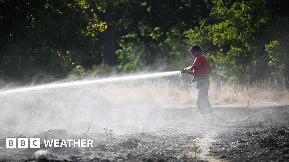
There is also a greater chance of drought and wildfires in parts of Australia, Indonesia and the north of South America, leading to a decline in agriculture and global food stocks.
Image source, GettyImage caption, Major flooding hit Peru in 2017 after a strong El Niño brought an increase in rainfall, isolating communities and neighbourhoods
The closure of the Strait of Hormuz is already disrupting the distribution of fertiliser with its price increased. This will impact harvests in the months to come with a reduced food supply and higher prices.
"You've got more people that are living in poverty already and if you get a reduction in crop yields because of drought or flooding [from El Niño] then that drives prices even higher.
"So we're looking at potentially quite huge humanitarian impacts this year, especially if the crisis in the Middle East continues," said Prof Stephens.
Whilst the direct impacts on the UK weather are less certain, climate scientists at the Met Office suggest that El Niño years are one factor that can increase the risk of colder winters in the UK.
Global forest loss slows but El Niño fires could threaten progress