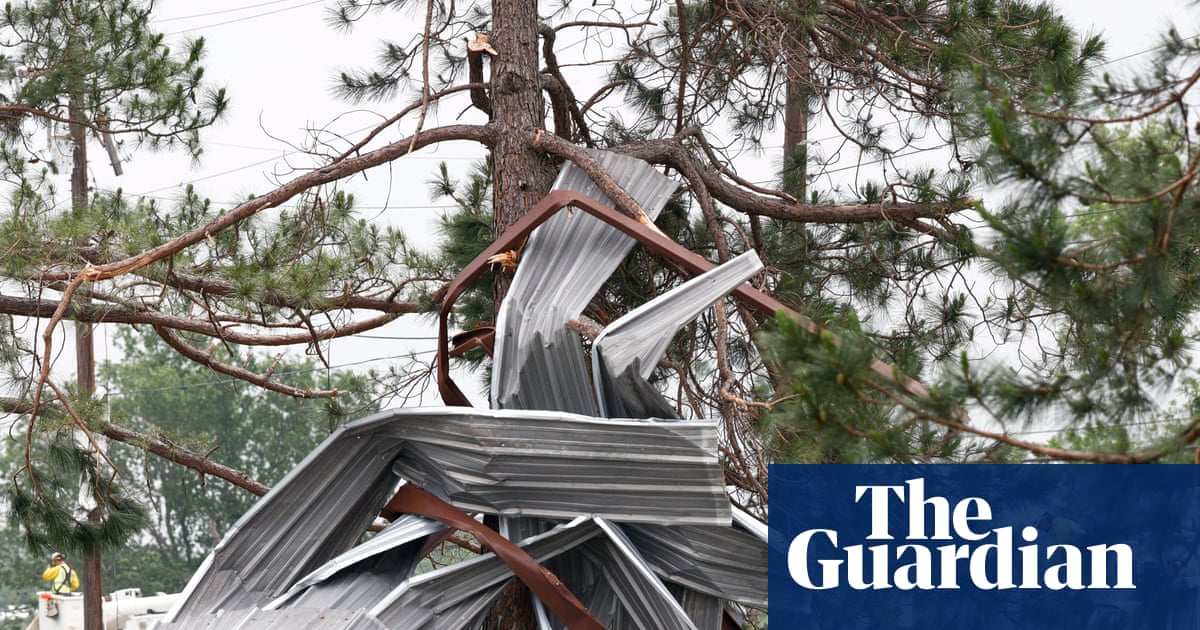
Metal building wreckage wrapped around tree after possible tornado in Springtown, Texas, on Sunday. Photograph: Elías Valverde II/The Dallas Morning News via APView image in fullscreenMetal building wreckage wrapped around tree after possible tornado in Springtown, Texas, on Sunday. Photograph: Elías Valverde II/The Dallas Morning News via APTornadoes, hail and high winds forecast to hit midwest and Mississippi valley Severe storms put nearly 50 million at risk and follow a deadly weekend after tornado killed two people in Texas
Severe storms are expected to sweep across the mid-Mississippi valley and midwest regions of the US on Monday, putting nearly 50 million people at risk.
The storm prediction center has issued a level 4 out of 5 risk for severe thunderstorms across south-west Illinois and south-east Missouri, including major cities such as St Louis. Forecasters warned of “multiple strong to intense tornadoes, widespread severe/damaging wind gusts and scattered large to very large hail”, with some hail potentially reaching baseball size.
Wind gusts could climb to 60 to 70 miles per hour, bringing the threat of significant impacts. These include hail damage to vehicles, considerable tree damage, and wind damage to mobile homes, roofs and outbuildings, the National Weather Service (NWS) said.
In a statement to the Associated Press on Monday, Kansas City fire battalion chief Riley Nolan said the department responded to 11 water rescues involving vehicles before 6am.
According to Nolan, most of the rescues “were in our typical ‘high-water’ areas following heavy rains” though he noted that no boats were required and no injuries were reported.
Meanwhile, Evan Bentley, a NWS warning coordination meteorologist, said tornadoes on Monday could reach EF2 to potentially EF3 strength, referring to “strong” and “severe” tornado classifications, in a separate warning posted on X.
The NWS is urging residents to take precautions, advising people to move to an interior room on the lowest floor of a building, seek shelter in a well-built structure and stay away from windows.
The threat is not expected to end Monday, as the National Weather Service said a “plume of very moist and unstable air continues to surge northward ahead of the front, which will set the stage for several days of severe weather and heavy rainfall” across the mid- to lower Mississippi valleys and the mid-south.
It added that as a cold front pushes southward and overtakes a dryline in Texas – referring to a line separating moist and dry air – it is expected to trigger another round of thunderstorm clusters capable of severe hazards, along with scattered flash flooding later this week. However, the NWS noted that the coverage and intensity of Tuesday’s severe weather should be lower compared with Monday.
The latest storms follow a deadly weekend of severe weather. At least two people were killed when a tornado swept through northern Texas on Saturday night, and at least six others were injured.