A satellite view of Super Typhoon Sinlaku on Monday. Photograph: NOAAView image in fullscreenA satellite view of Super Typhoon Sinlaku on Monday. Photograph: NOAADangerous super typhoon barreling toward group of remote US islandsTyphoon expected to make landfall Tuesday in Northern Mariana Islands and bring heavy winds, rain and flooding
A dangerous super typhoon in the Pacific Ocean is barreling toward a group of remote US islands.
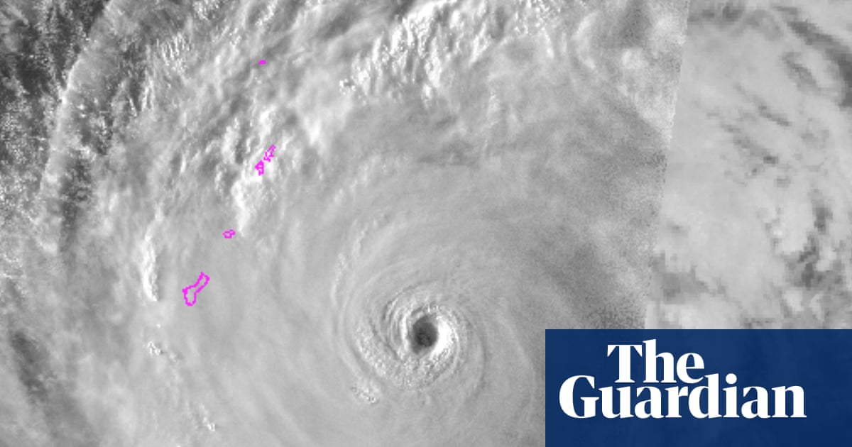
Super Typhoon Sinlaku is expected to make landfall on Tuesday in the Northern Mariana Islands and bring destructive winds, widespread heavy rain and flooding, the National Weather Service said on Monday.
Guam, a US territory with American military installations, also could see damaging winds beginning Monday and is under a tropical storm warning. The US Coast Guard issued flood and high wind warnings over the weekend.
The tropical typhoon – the strongest on Earth so far this year – was producing sustained winds of 173mph (278 km/h) on Monday as it neared the islands of Rota, Tinian and Saipan, according to the Joint Typhoon Warning Center.
Read moreWhile it is expected to weaken slightly over the next few days, Sinlaku should cross near the islands as a category 4 or 5 typhoon.
In Guam, where Typhoon Mawar knocked out power for days in 2023, US military officials warned personnel to prepare for the storm and shelter in place.
Donald Trump on Saturday approved emergency disaster declarations for Guam and the Northern Mariana Islands, allowing for additional help with emergency services.
A super typhoon is a name given to the strongest tropical cyclones that brew in the north-western Pacific Ocean, where Earth’s most intense storms usually form.
Monitored by the Joint Typhoon Warning Center in Guam, super typhoons are the equivalent of category 4 or 5 hurricanes in the Atlantic, with winds of at least 150mph . There have been more than 300 super typhoons identified since the warning center started using that name in 1947.