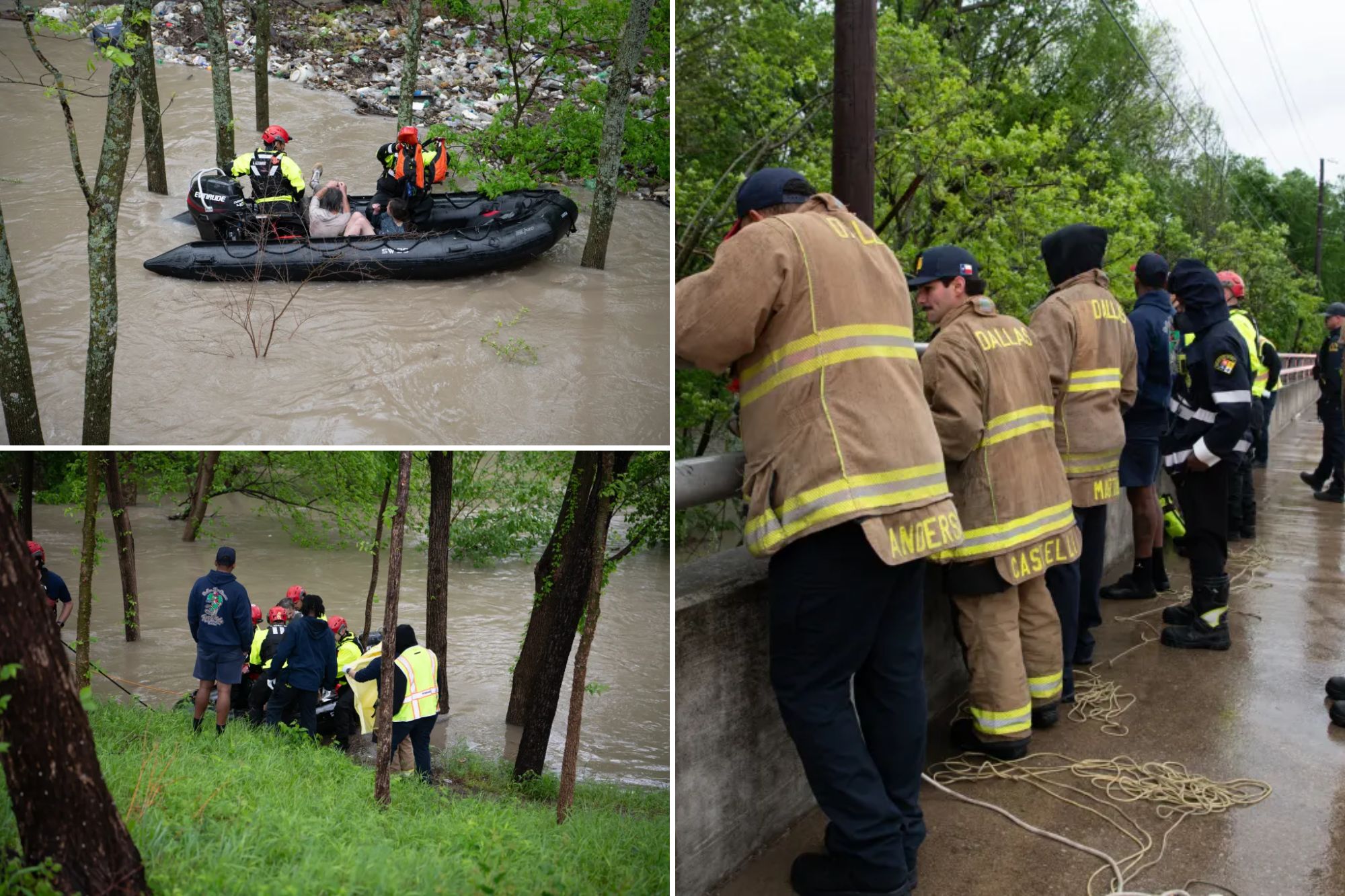
TEXAS – Another round of severe storms is headed for the southern U.S. this week, with parts of Texas experiencing significant flash flooding Sunday night.
Some areas of Texas have already seen nearly 6 inches of rain, including Gonzales. Pattison recorded 5 inches, and Sealy received nearly 4 inches.
Meanwhile, standing water has reached up to 3 feet in Schulenburg.
Portions of South Central Texas were issued a Flash Flood Watch and Flash Flood Warnings, with some remaining in effect until Monday morning.
Due to the heavy rain, the Trinity River reached Action state, according to the NOAA.
According to PowerOutage.us, almost 21,000 customers were without power as severe weather continued to impact the region on Sunday.
With restoration efforts underway, that number has dropped to under 6,000 customers.
Following this weekend’s widespread flash flooding, the FOX Forecast Center is monitoring the potential for large hail, strong winds, and isolated tornadoes across parts of the state as the multi-day severe weather stretch continues.
A Level 1 out of 5 Severe Storm Threat has been issued for a corridor stretching from Abilene south toward Del Rio for Monday.
Stay tuned to FOX Weather as we continue to track the development of these storms and provide the latest information to stay safe this week.