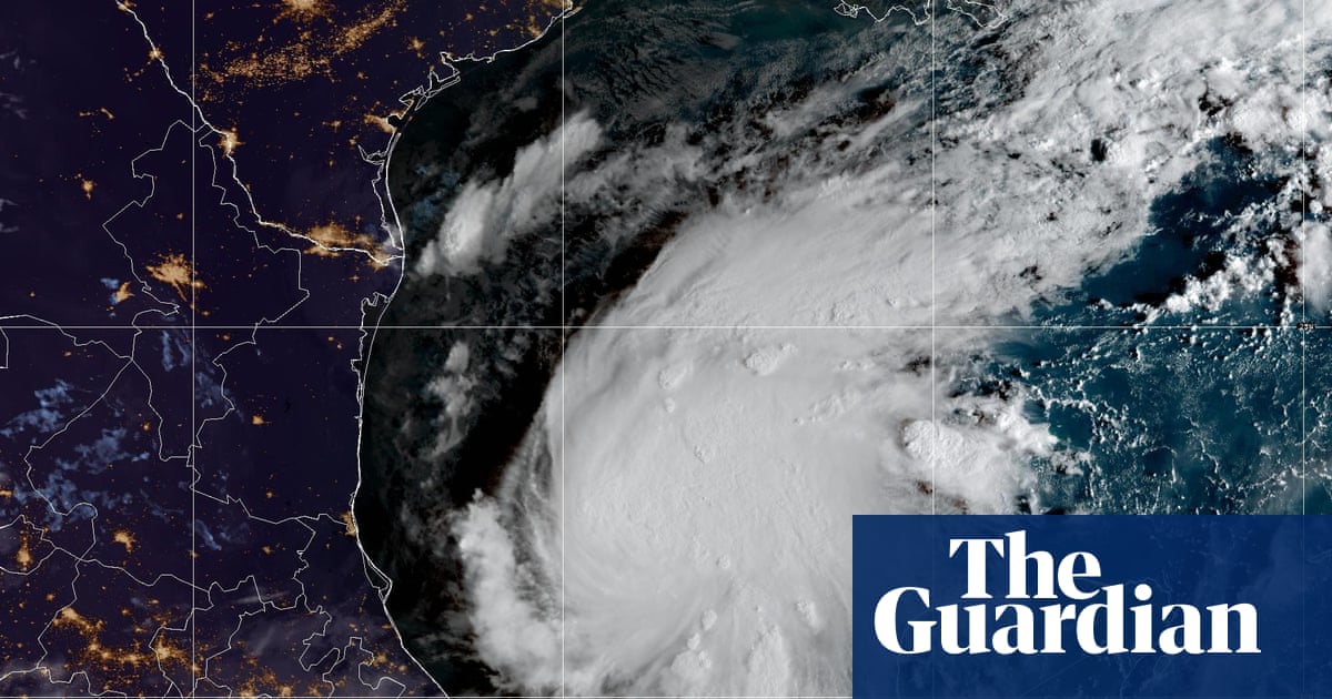
A satellite image of Tropical Storm Isaias on 7 October 2026. Photograph: NOAAView image in fullscreenA satellite image of Tropical Storm Isaias on 7 October 2026. Photograph: NOAATropical Storm Isaias near Mexico is forecast to become a hurricaneIsaias, which succeeded Tropical Depression Nine, would be the first hurricane of the belated Atlantic season
Tropical Storm Isaias formed early on Wednesday in the warm waters off eastern Mexico and forecasters said it was expected to strengthen into the first hurricane of the belated Atlantic season before hitting the US Gulf coast later in the week.
Isaias succeeded Tropical Depression Nine as it strengthened overnight. It was located about 285 miles (460km) west of Progreso, Mexico, and about 580 miles (935km) south-west of where the Mississippi River spills into the Gulf of Mexico in Louisiana, according to the National Hurricane Center (NHC). The storm on Wednesday morning had maximum sustained winds of 40mph (65kph) and was moving east to north-east at 8mph (13kph).
The first hurricane of the Atlantic season has not formed this late since 8 October 1905. The NHC said the storm is expected to strengthen rapidly and become a strong category 2 hurricane before landfall.
It was not immediately known where the storm may make landfall on the US Gulf coast. The hurricane center’s initial projections said the center of Isaias could come onshore somewhere between eastern Louisiana and the western Florida Panhandle. People in those areas were urged to prepare for the storm .
“There is an increasing risk of dangerous wind and storm surge impacts along portions of the northern Gulf Coast,” the hurricane center, based in Miami, Florida said. “Residents from Louisiana to the Florida Panhandle should closely monitor the latest forecast updates and ensure they have their hurricane plan in place.”
Forecasters added that there is “uncertainty in where the system makes the northeast turn and how fast it moves toward the coast”. The direction of the storm could see it make landfall where Alabama meets Florida early on Saturday, but the NHC reiterated that the exact path is uncertain.
The storm comes as the Atlantic hurricane season has been unusually quiet this year owing to a particularly strong El Niño, which disrupts storm formation over that ocean. Storm activity in the Pacific has been above average.
Read moreThis year’s huge El Niño is causing climate chaos around the world. Temperate records have already been broken, with extreme heat reported from western Europe to California. Meanwhile, Bangkok is suffering massive flooding and the weather phenomenon is projected to cause a further 450,000 deaths globally by February.
The Associated Press contributed reporting.