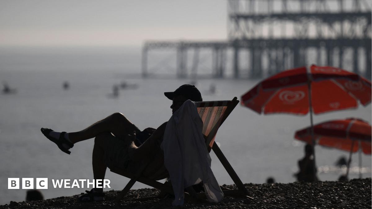
Image source, DANIEL LEAL/AFP via Getty ImagesBySimon King Lead Weather PresenterPublished39 minutes agoSeptember was provisionally the joint fourth warmest on record for the United Kingdom, according to figures from the Met Office.
And for the eighth month in a row, the average UK temperature was more than 1C above the norm.
With warmer than average weather forecast for the rest of the year, we're on track for 2026 to be one of the warmest years on record.
While there was some rainfall throughout September, most of it fell in Scotland, while eastern and south-east England had another drier-than-average month.
Overall September was an unsettled and - on the face of it - unremarkable month for weather.
But, it has still ended up being the joint fourth warmest on record.
With a mean average temperature of 14.6C, it was 1.6C above the long-term average.
Both maximum and minimum temperatures were consistently above normal with only very short-lived bursts of heat, falling short of any official heatwave.
The highest temperature recorded in the month was 28.6C in Northolt, London on 6 September.
And Northern Ireland, saw the latest day on record where a temperature above 25C was recorded with 25.5C on 21 September in Helen's Bay.
It also remained relatively warm overnight with Northern Ireland recorded its joint warmest September for minimum temperature.
Putting this month into the context of the year overall, it "fits with the general pattern that we're seeing of more frequent above average temperatures in the UK as our climate continues to change" according to Mike Kendon, Met Office climate scientist.
According to the average Central England Temperature - representative of an area between Lancashire, London and Bristol and the longest temperature dataset in the world, going back to the 17th Century - kept by the Met Office, every month this year has been warmer than average.
Using this dataset, the temperature is currently running at 2.6C above average and is on track to be one of the warmest years on record.
The rest of this year would need to be significantly cooler than average to not beat 2025 which is currently the UK's warmest on record.
With the super El Niño expected to peak over the next few months, the Met Office has already suggested that the rest of autumn and into the start of winter, will be warmer than average.
Scientists believe that with El Niño - the warming of the tropical Pacific - higher temperatures are likely globally into next year, so 2027 could end up being even warmer.
Image source, GettyImage caption, Despite some rain, Baitings reservoir in Ripponden was still very low in mid-September
Across the UK, the average rainfall was around average at 104%.
Most of the rainfall in September fell across Scotland which ended up having nearly 40% more rain than average.
It didn't rain as much however in eastern England with parts of Yorkshire being the driest with less than 20% of their usual rainfall.
Lincolnshire only had a third of its average September rainfall.
Despite at least some rainfall, it won't be enough to alleviate the drought situation across most of England and all of Wales.
Environment Agency (EA) Chief Executive, Philip Duffy, said: "September's rainfall has been welcome, but a few weeks of unsettled weather is nowhere near enough to reverse the water deficits caused by a dry spring and record hot summer".
The EA have previously said that there needs to be 20% more rainfall than normal over the next seven months for all areas to be considered out of drought.
At least seven months of relentless rain needed to end drought, research shows
Stormy autumn, cold winter - how might El Niño affect the UK weather?