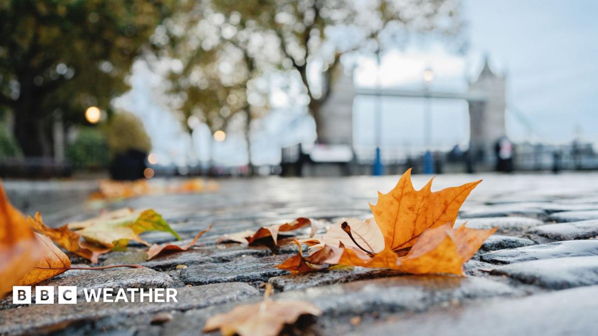
Image source, Getty ImagesByBen Rich, Lead Weather Presenter and Matt Taylor, Lead Weather PresenterPublished16 minutes agoTemperatures are set to drop across many parts of the UK as summerlike September warmth gives way to more autumnal conditions.
A weather front delivering outbreaks of heavy rain for some places on Wednesday will move eastwards, leaving cooler air in its wake.
Daytime highs will be close to the late September average in most regions but some cold nights are expected with frost possible in a few locations on Thursday morning.
Higher temperatures will stage a partial comeback at the end of the week, however, with south-east England likely to return to the mid-20s Celsius.
Unseasonably warm weather has affected the UK over the last couple of days with temperatures climbing to around 25C in parts of England, Wales, Northern Ireland and Scotland.
However, a waving weather front will continue to take outbreaks of rain erratically eastwards across the UK on Wednesday, sweeping away the warmest of the conditions.
Some of the downpours will be heavy and thundery although little - if any - rain will affect the south-east of England.
This will allow warm air to hold on here with temperatures reaching the mid-20s Celsius but elsewhere highs of 14-20C are expected, around the average for this time of year.
Image caption, After some recent warm nights and autumn chill will greet many on Thursday morning, before temperatures lift over the next few nights again
After a few warmer nights recently, a distinct autumn chill on Thursday morning may come as a shock to some.
Clearing skies on Wednesday night and lighter winds, in the cooler air mass that follows the day's rain, will lead to temperatures tumbling in most places back into single figures.
However, such values will be close to those expected in late September.
In some parts of eastern Scotland, especially around the Grampians, temperatures could dip low enough for a coating of morning frost on the grass.
Sunny skies will gradually temper the chill, and while most of England and Wales will stay sunny and dry on Thursday strengthening winds will bring increasing cloud to north-western parts of the UK.
Rain is likely in parts of western Scotland and Northern Ireland later, with gales in coastal districts.
Image source, BBC WeatherWatchers/Janey LizImage caption, Forecasts suggest windier and cooler conditions are expected later next week
After a milder start to Friday, afternoon temperatures will reach the mid-20s Celsius again in south-east England as a ridge of high pressure holds on.
Elsewhere, temperatures will stay in the mid to high teens with large amounts of cloud and occasional rain.
Temperatures will again be close to the seasonal average through the weekend and it should feel pleasantly warm in the sunny spells.
Saturday will bring the chance of further showers to many western areas, while on Sunday spells of rain will sweep most areas at some point.
As we head into next week and the final days of September there are currently no signs of any significant bouts of unseasonable warmth.
Some pleasantly warm and sunny days are still possible during the first half of the week, but forecasts show a very changeable pattern overall.
As well as occasional rain for most, northern and western areas could see much windier conditions at times.
Follow all the latest forecasts for where you are on the BBC weather website and app.
Developing El Niño becomes strongest on record weeks before expected peak
El Niño likely to cause wetter and warmer-than-normal autumn