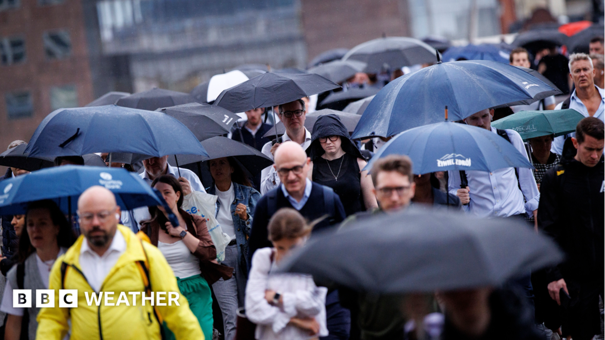
Image source, EPABySimon King Lead Weather PresenterPublished9 minutes agoIn the last few days of August and start of September, more rain fell than any other week since early February, according to the Environment Agency.
Despite the change to more unsettled and wetter conditions, all of Wales and most of England remains in drought.
And water companies are reminding customers that temporary hosepipe bans are still in force despite the rainfall and decreased demand with the cooler weather.
More rain is in the forecast this week and while that will be welcome, sustained rainfall is needed to reverse drought conditions.
While we had a brief return of summer heat over the weekend for some, the weather since the start of September - and meteorological autumn - has been more unsettled.
According to figures from the Environment Agency (EA), in the week from 28 August to 3 September, rainfall totals ranged from 26mm in south-east England to 48mm in central England.
However, the National Drought Group said that water storage "continued to decline at most reservoirs".
There has been no change to the EA drought status or the temporary use bans in force across ten water company areas.
While there has been less demand for water due to the cooler and wetter weather, "further significant rainfall is needed" to return to normal conditions the EA suggests.
Summer 2026 was UK's hottest on record, Met Office says
In the first week of September there has been a big variation in rainfall across the UK.
For parts of Scotland we've already seen half the average September rainfall in the first 7 days of the month.
Prestwick, South Ayrshire for example has had 47mm compared to the whole month average of 79mm - or 59% of the average.
However, southern England and south Wales have been largely dry with locations in East Sussex, Buckinghamshire and the Isle of Wight recording less than a millimeter of rain - or 1% of the average September rain.
Image source, BBC WeatherImage caption, Tuesday will see rain and showers spread across the UK with strong winds across Scotland, Northern Ireland and northern England
Those rainfall totals will increase slightly on Tuesday as rain spreads south-east across much of England and Wales.
Parts of the Midlands and eastern England could get a few millimetres with up to around 15mm expected around southern counties of England.
Showers will continue to move in across Scotland, Northern Ireland and northern England along with some strong winds.
Gales are expected in western Scotland but blustery conditions will be felt widely around northern and then even eastern areas of England into Wednesday.
Temperatures this week will be around the early September average of 17 to 21C.
It may start to warm up slightly later this week with temperatures in the south-east up to the mid-20s Celsius.
The long-range forecast doesn't currently show any sign of significant rainfall across England and Wales needed to alleviate drought conditions for the next month at least.
Stormy autumn, cold winter - how might El Niño affect the UK weather?
New storm names for 2026-2027 released by Met Office