Add The California Post on Google Researchers at a public university in California say they have developed a way to identify the most likely locations of some of the world’s biggest earthquakes.
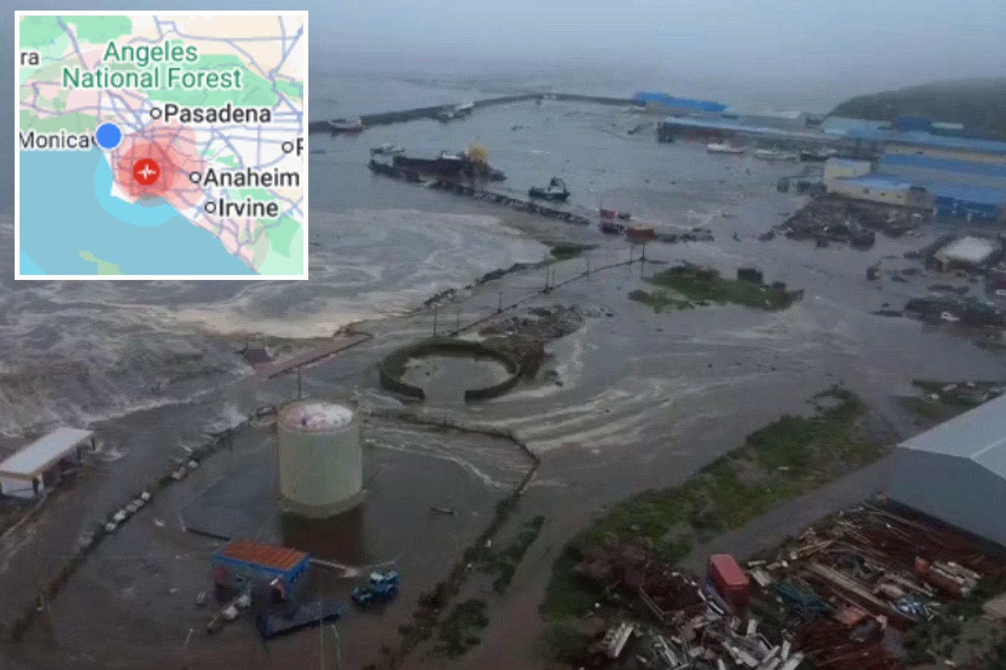
It comes the same day a quake shook parts of LA‘s South Bay in the early hours of Sunday morning.
People in the area said they felt the tremor, however, no major impact was reported.
The US Geological Survey recorded the quake at magnitude 3.2, with the epicenter located 2 miles southeast of Compton. It struck shortly after midnight at approximately 12:15 a.m.
University of California, Riverside researchers say the method isn’t able to predict when an earthquake will happen or what potential consequences, such as tsunamis, could result from it.
They add the approach works by determining where stress has been building along major fault lines, which can help pinpoint where a major earthquake is most likely to occur.
Geophysicists Gareth Funning and Axel Periollat explained to UC Riverside News that those locations are determined using measurements of strain that has built up along fault lines over the years.
The researchers focus on regions called subduction zones — areas where one tectonic plate slides beneath another.
These zones tend to produce the world’s biggest earthquakes, including those measuring magnitude 8.5 or greater.
One example is the powerful earthquake that struck Russia’s Kamchatka Peninsula in July 2025 and prompted tsunami warnings along the US West Coast.
Their methodology was able to pinpoint the location where the earthquake occurred, according to a recently published study.
The research also helped determine that the earthquake wasn’t as massive as one that struck the same area in 1952.
Researchers reached that conclusion in part because the more recent quake produced a smaller tsunami, indicating differences in how the shallowest part of the fault ruptured compared with the 1952 earthquake.
UC Riverside experts say the methodology uses GPS measurements to track how the ground is moving. An algorithm then helps determine which parts of a fault are most likely to produce an earthquake if enough stress builds up.
“We had an idea where the strain was accumulating based on a relatively limited data set,” Periollat told UC Riverside News. “Seeing it work so well confirmed that this approach has real potential.”
They are now using similar techniques to improve their understanding of California’s faults.
“In the Bay Area, the Hayward Fault has both creeping and locked sections, much like subduction zones,” Funning said, according to UC Riverside News. “We’re investigating whether we can identify the parts most likely to generate future earthquakes.”
Although researchers still can’t predict when earthquakes will happen or how severe consequences such as tsunamis will be, they say knowing where major earthquakes are most likely to occur could help communities better prepare over the long term.
“Your peace of mind shouldn’t come from believing we can forecast the exact earthquake,” Funning told her university’s news outlet.
“Especially where we live in Southern California, it’s not a matter of if, but when. There is no substitute for preparation.”
California Post News: Facebook, Instagram, TikTok, X, YouTube, WhatsApp, LinkedInCalifornia Post Sports Facebook, Instagram, TikTok, YouTube, XCalifornia Post Opinion California Post Newsletters: Sign up here!California Post App: Download here!Home delivery: Sign up here!Page Six Hollywood: Sign up here!