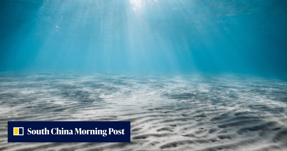
More than two decades of effort sees Chinese researchers develop maps of ocean terrain up to five times more accurate than global models
3-MIN READ3-MINZhang Tongin BeijingPublished: 10:00am, 31 Aug 2026China has mapped the seabed of its claimed waters including the South China Sea, with twice the resolution and up to five times the accuracy of methods used by other countries after more than two decades of effort, according to scientists involved in the project.The importance of such work was underscored in October 2021, when the US Navy’s Seawolf-class nuclear submarine USS Connecticut struck an uncharted seamount while submerged in the South China Sea. The collision grounded the vessel and injured 11 crew members.
A subsequent investigation blamed poor voyage planning by the officers on watch, who failed to heed sonar warnings that did not match their charts.