Swift commercial response highlights how Chinese space surveillance capabilities are expanding beyond military and government circles
1-MIN READ1-MIN ListenZhang Tongin BeijingPublished: 8:40pm, 28 Aug 2026Within hours of a devastating glacier collapse on the China-Nepal border, a Beijing-based satellite company had already redirected six of its satellites to survey the disaster zone.
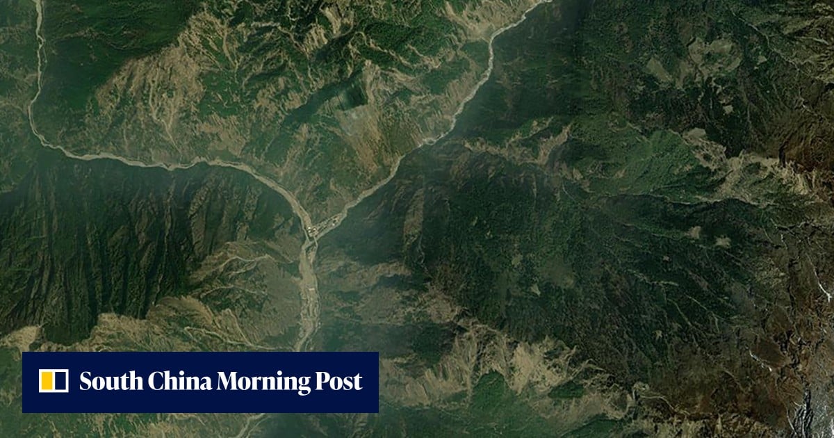
The high-resolution radar images they captured revealed a massive collapse site near a remote mountain pass.
Unlike optical sensors, radar signals can pierce through haze and cloud, mapping terrain changes with high precision even in the rugged Himalayan plateau.
The swift commercial response also underscores a broader trend: China’s space surveillance capabilities are rapidly expanding beyond military and government circles to private enterprises that can operate with greater flexibility and transparency.
The disaster struck on Wednesday, when a large section of glacier on the Nepal side broke away – triggering a massive rock and ice avalanche that unleashed deadly flash floods downhill.
The surge devastated communities along the China-Nepal border and beyond, leaving more than 400 people dead and over a thousand missing across both nations. It also caused severe damage to the Gyirong Port border checkpoint in Shigatse, in China’s western Tibet region.