Add The New York Post on Google New York City has been soaked with more than 8 inches of rain so far this August — making it already the wettest August in at least five years as another round of showers could be on the way.
The Big Apple has been drenched by a slew of powerful storms this month, bringing rainfall totals to 8.04 inches so far, senior AccuWeather meteorologist Carl Erickson told The Post.
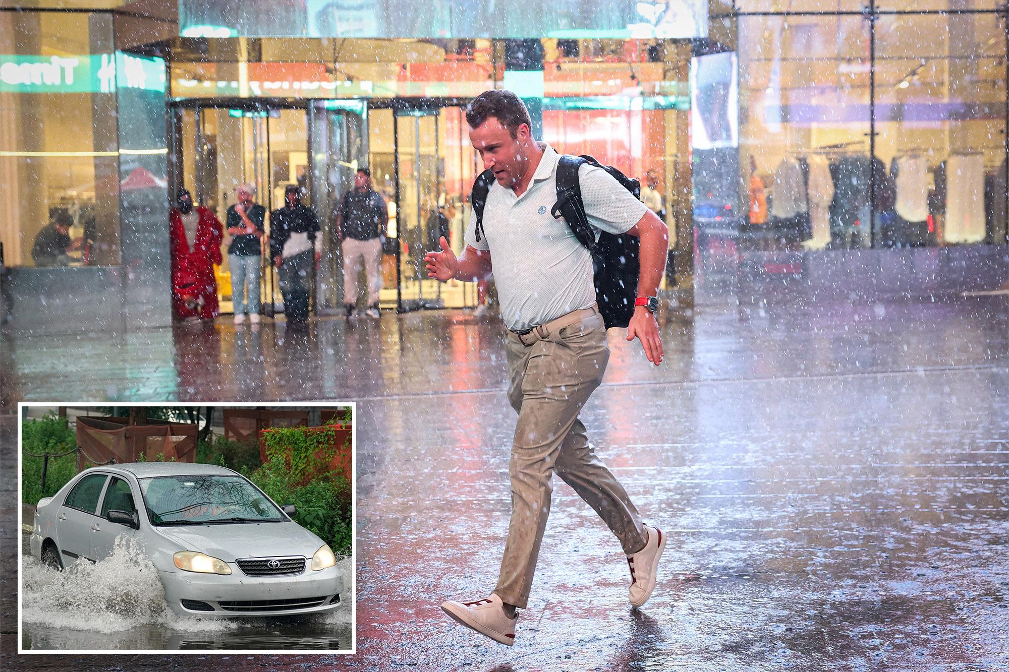
This August’s severe weather a flash storm on Thursday, when just under three inches of rain turned the city’s streets into gushing rivers.
That puts August 2026 far ahead of rainfall totals from the past four years, including last August, when just 2.21 inches of rain fell in Central Park, according to weather data.
August 2021 was wetter — when the city recorded 10.32 inches of precipitation — in part due to a deadly, record-setting dounpour from Tropical Storm Henri.
Recent years are still a far cry from August of 2011, when a whopping 18.95 inches of rain fell in Central Park. The impressive record was also pushed over the edge by Tropical Storm Irene, according to Erickson.
“Compared to the past several years, August definitely has been one of the wettest Augusts here,” Erickson said.
On Sunday, up to an inch and a half of rain pummeled the five boroughs for roughly three hours starting at 5 a.m., causing flooding that wreaked havoc on the city’s roadways.
“The rain that moved through the city here earlier this morning, a lot of that fell within a couple of hours’ time,” Erickson said
“That’s been the case here throughout this summer… with August, with a lot of these heavier rain events, the rain fell in a short amount of time,” Erickson said. “Given how the city is laid out with a lot of pavement, that can quickly lead to those flash flooding concerns.”
The intense flooding early Sunday trapped two cars near Exit 5 of the Clearview Expressway in Queens and briefly closed lanes of the Brooklyn-Queens Expressway and Long Island Expressway, WABC reported.
The occupants of both cars were able to safely evacuate their submerged vehicles with the help of the FDNY, the outlet said.
New Yorkers will get a brief break from the deluges, but the next chance for showers and localized flooding will come on Thursday before another dry stretch settles in, according to Erickson.
“The next best chance for precipitation is likely Thursday, and then beyond that it looks like we dry things out again. So a pretty stable and dry stretch coming up here over the next week,” Erickson said.
Temperatures are slated to be above the historical average this fall, and precipitation levels will hover around average, though any significant precipitation could alter current predictions.
A developing El Niño climate pattern, for example, could alter the current forecast, according to Erickson.
The National Weather Service predicted this month that the strengthening El Niño brings a 90% chance of a “very strong event” in the Northern Hemisphere this fall and winter.