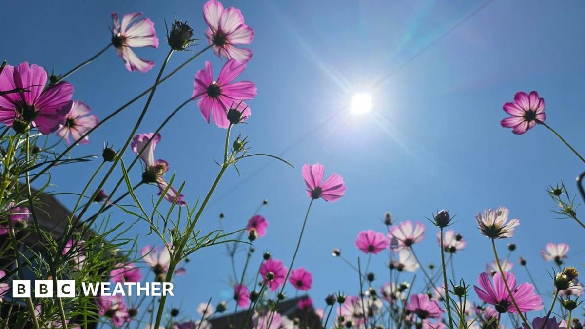
Image source, BBC Weather Watchers / Yen MilnePublished17 June 2024Updated 7 August 2026There will be drier and hotter weather returning through the coming week, especially across England and Wales, but a wetter and less warm period is possible after mid-month.
A few warm or hot days will return
Scotland and Northern Ireland will have a wet and windy spell on Saturday, with western Scotland seeing the heaviest rain. A band of rain, some thundery, will progress south-eastwards on Sunday but it will become lighter and more fragmented before reaching southern and eastern England, where some locations will stay dry and warm with highs of around or just above 30C.
A mixture of showers and sunshine will follow across Scotland, Northern Ireland and the far north of England, with a few isolated showers lingering into Monday. Wales and the rest of England should be dry with some sunshine appearing as high pressure crosses, but temperatures will come down a notch.
The centre of this anticyclone will shift eastwards on Tuesday, inducing warm south-easterly flows across much of the UK, with a lot of dry weather. However, some rain may break out later across western and northern Scotland. A few well-scattered sharp and potentially thundery showers may develop elsewhere on Wednesday and Thursday, but these will be very hit and miss, with many places staying dry and warm or hot. Parts of the south may reach the low to mid-30s Celsius yet again.
A high pressure ridge should move across on Friday and Saturday, giving mostly dry weather with any showers largely confined to the far western and northern UK. However, there are chances that an Atlantic weather system might bring more unsettled weather by the end of the week.
Changeable with temperatures moderating
After mid-August there are signs of high pressure receding for a time, allowing Atlantic low pressure and frontal systems closer to the UK. This should bring a greater chance of rain, showers and thunderstorms, even to southern regions, with precipitation amounts closer to normal. However, the south may still see less rain than the north.
Temperatures should still be above average in most areas, and the south has a chance of a couple of very warm days initially, but on the whole, there will be a reduction in warmth, and the northern UK may have temperatures closer to average. Winds are likely to strengthen at times as well.
However, by the end of the week we might see high pressure trying to re-establish itself, with a chance of drier and warmer weather returning to some areas.
Most probably still warmer than normal
Longer-range models depict widely differing possibilities for the last week of August and the first week of September, so confidence in the outlook is low. The most probable scenario is for high pressure to settle near or across the UK, once again promoting warmer than normal conditions, with a chance of further hot days in some locations, depending on exactly where the high pressure aligns.
There are some signs that the high pressure axis may shift farther north, across the northern UK. That might at some point open the door to low pressure systems from the south-west or south, which could encourage heavy showers and thunderstorms to creep northwards into the UK. However, that's rather speculative at the moment.
Alternatively although less likely, high pressure may be weaker, allowing low pressure systems to more readily infiltrate from the west, bringing cooler and wetter conditions.
In Tuesday's outlook will we continue to see diverging possibilities for early September, or will there be more clarity on the most likely outcome?
Is there a hosepipe ban in my area? What you need to know
Is the UK heading for another drought this summer?
How does air pressure affect our weather? Video, 00:01:13How does air pressure affect our weather?