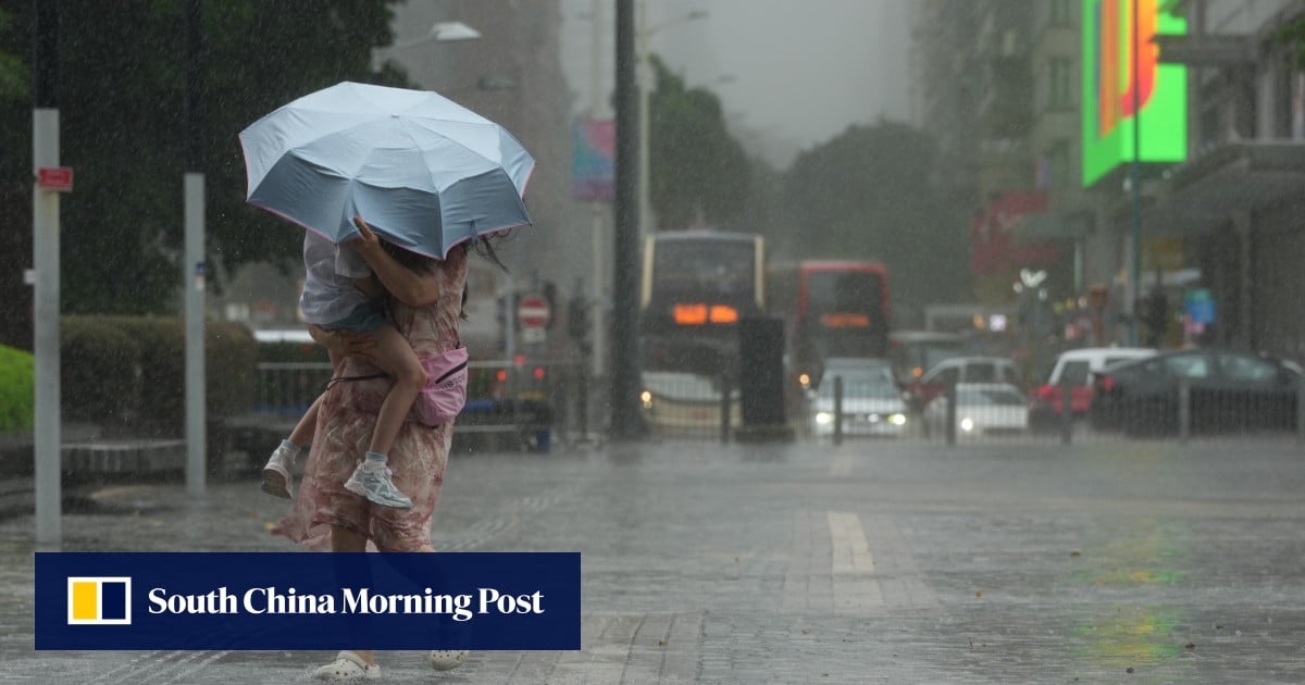
Members of the public should stay away from shoreline and avoid water sports due to swells, Observatory says
1-MIN READ1-MIN ListenJeffie LamPublished: 11:23am, 4 Jul 2026Updated: 11:28am, 4 Jul 2026This story has been made freely available as a public service to our readers. Please consider supporting SCMP’s journalism by subscribing.The Hong Kong Observatory has cancelled the No 1 typhoon signal but warned the city will still be hit by strong winds, swells and heavy showers, with unsettled weather expected to continue until mid next week.
The forecaster replaced the standby typhoon signal, issued on Thursday, with the strong monsoon signal at 3.21am on Saturday as Tropical Cyclone Maysak was expected to move across Beibu Wan, also known as the Gulf of Tonkin, then enter Guangxi Zhuang autonomous region to inland Vietnam before weakening.
“Under the influence of the southeast monsoon associated with a ridge of high pressure, local winds will be strong offshore and on high ground at first [on Saturday],” it said. “Showers will be heavier in some areas with squally thunderstorms and violent gusts.”
It also urged the public to stay away from the shoreline and avoid water sports due to the swells.
The Observatory said the weather would remain unsettled over the coast of Guangdong province early next week under the influence of an active southerly airstream.